
Kütahya topographic map
Interactive map
Click on the map to display elevation.
About this map
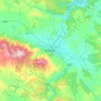
Name: Kütahya topographic map, elevation, terrain.
Location: Kütahya, Kütahya merkez, Kütahya, Aegean Region, 43000, Turkey (39.25915 29.82729 39.57915 30.14729)
Average elevation: 3,704 ft
Minimum elevation: 2,894 ft
Maximum elevation: 6,224 ft