
Maytown topographic map
Interactive map
Click on the map to display elevation.
About this map
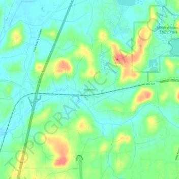
Name: Maytown topographic map, elevation, terrain.
Location: Maytown, Thurston County, Washington, 98512-9000, USA (46.87760 -122.96347 46.91760 -122.92347)
Average elevation: 236 ft
Minimum elevation: 167 ft
Maximum elevation: 381 ft