
Peren topographic map
Interactive map
Click on the map to display elevation.
About this map
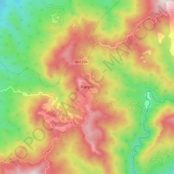
Name: Peren topographic map, elevation, terrain.
Location: Peren, Nagaland, India (25.50035 93.69506 25.58035 93.77506)
Average elevation: 3,438 ft
Minimum elevation: 1,598 ft
Maximum elevation: 5,322 ft