
Keystone topographic map
Interactive map
Click on the map to display elevation.
About this map
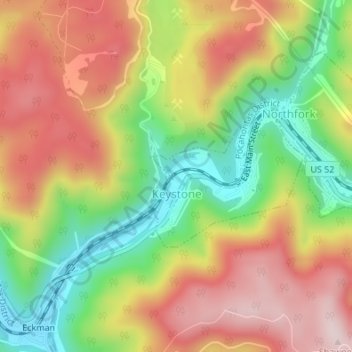
Name: Keystone topographic map, elevation, terrain.
Location: Keystone, McDowell County, West Virginia, 24852, USA (37.41072 -81.45359 37.42166 -81.43837)
Average elevation: 2,169 ft
Minimum elevation: 1,568 ft
Maximum elevation: 2,736 ft