
Juba topographic map
Interactive map
Click on the map to display elevation.
About this map
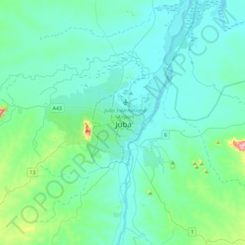
Name: Juba topographic map, elevation, terrain.
Location: Juba, Central Equatoria, PRIVATE BAG, South Sudan (4.68720 31.43517 5.00720 31.75517)
Average elevation: 1,614 ft
Minimum elevation: 1,460 ft
Maximum elevation: 2,694 ft