
Starr Hill topographic map
Interactive map
Click on the map to display elevation.
About this map
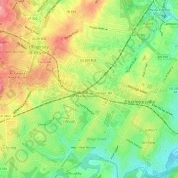
Name: Starr Hill topographic map, elevation, terrain.
Location: Starr Hill, Charlottesville, Virginia, 22908, USA (38.01208 -78.51112 38.05208 -78.47112)
Average elevation: 466 ft
Minimum elevation: 302 ft
Maximum elevation: 643 ft