
Mistaken Island topographic map
Interactive map
Click on the map to display elevation.
About this map
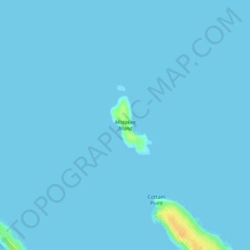
Name: Mistaken Island topographic map, elevation, terrain.
Average elevation: 3 ft
Minimum elevation: 0 ft
Maximum elevation: 89 ft
Other topographic maps
Click on a map to view its topography, its elevation and its terrain.
Nanoose Bay
Canada > British Columbia > Area E (Nanoose Bay) > Nanoose Bay
Nanoose Bay, Area E (Nanoose Bay), Regional District of Nanaimo, British Columbia, V9P 9A0, Canada
Average elevation: 190 ft