
Athol topographic map
Interactive map
Click on the map to display elevation.
About this map
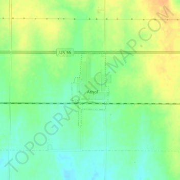
Name: Athol topographic map, elevation, terrain.
Location: Athol, Smith County, Kansas, United States (39.75976 -98.92355 39.77083 -98.91644)
Average elevation: 1,798 ft
Minimum elevation: 1,749 ft
Maximum elevation: 1,854 ft
Other topographic maps
Click on a map to view its topography, its elevation and its terrain.
Smith Center
United States > Kansas > Smith County
Smith Center, Smith County, Kansas, 66967, United States
Average elevation: 1,801 ft
Lebanon
United States > Kansas > Smith County
Lebanon, Smith County, Kansas, 66952, United States
Average elevation: 1,831 ft