
Mława topographic map
Interactive map
Click on the map to display elevation.
About this map
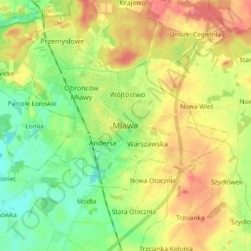
Name: Mława topographic map, elevation, terrain.
Location: Mława, powiat mławski, Masovian Voivodeship, 06-500, Poland (53.07162 20.34317 53.15162 20.42317)
Average elevation: 502 ft
Minimum elevation: 404 ft
Maximum elevation: 623 ft