
Sidi Khaled topographic map
Interactive map
Click on the map to display elevation.
About this map
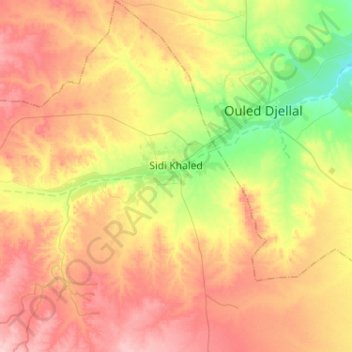
Name: Sidi Khaled topographic map, elevation, terrain.
Location: Sidi Khaled, Sidi Khaled District, Ouled Djellal, Algeria (34.27875 4.89188 34.49079 5.06686)
Average elevation: 814 ft
Minimum elevation: 558 ft
Maximum elevation: 1,053 ft