
Borovets topographic map
Interactive map
Click on the map to display elevation.
About this map
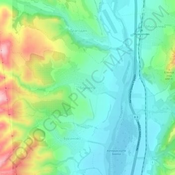
Name: Borovets topographic map, elevation, terrain.
Location: Borovets, Kocherinovo, Kyustendil, 2640, Bulgaria (42.08435 23.00161 42.12435 23.04161)
Average elevation: 1,352 ft
Minimum elevation: 1,135 ft
Maximum elevation: 1,883 ft