
Phon Sung topographic map
Interactive map
Click on the map to display elevation.
About this map
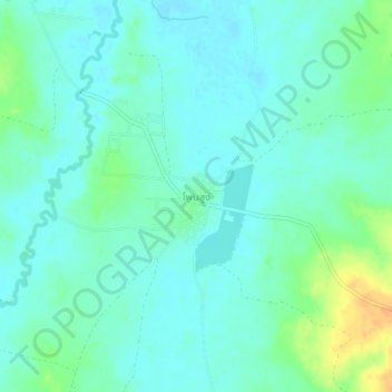
Name: Phon Sung topographic map, elevation, terrain.
Location: Phon Sung, Udon Thani Province, Thailand (17.64577 103.26568 17.68577 103.30568)
Average elevation: 551 ft
Minimum elevation: 522 ft
Maximum elevation: 636 ft