
Flower Park, Sabarmati Riverfront topographic map
Interactive map
Click on the map to display elevation.
About this map
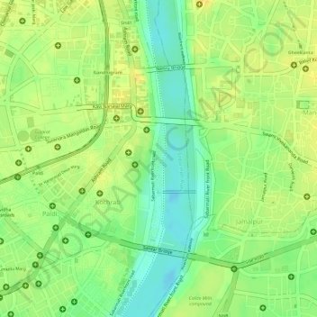
Name: Flower Park, Sabarmati Riverfront topographic map, elevation, terrain.
Average elevation: 167 ft
Minimum elevation: 115 ft
Maximum elevation: 197 ft
Other topographic maps
Click on a map to view its topography, its elevation and its terrain.
Law Garden
India > Gujarat > Ahmedabad City Taluka > Ahmedabad
Law Garden, Gulbai tekra, Ahmedabad, Ahmedabad City Taluka, Ahmedabad District, Gujarat, 380006, India
Average elevation: 171 ft