
Ibn Badis topographic map
Interactive map
Click on the map to display elevation.
About this map
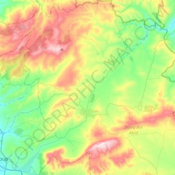
Name: Ibn Badis topographic map, elevation, terrain.
Location: Ibn Badis, Daïra Aïn Abid, Constantine, Algérie (36.24004 6.72413 36.45450 6.97410)
Average elevation: 2,861 ft
Minimum elevation: 1,962 ft
Maximum elevation: 4,327 ft