
Alber topographic map
Interactive map
Click on the map to display elevation.
About this map
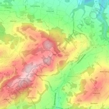
Name: Alber topographic map, elevation, terrain.
Location: Alber, Wuppenau, Bezirk Weinfelden, Thurgau, 9514, Switzerland (47.48450 9.07891 47.52450 9.11891)
Average elevation: 2,133 ft
Minimum elevation: 1,673 ft
Maximum elevation: 2,559 ft