
Rodden topographic map
Interactive map
Click on the map to display elevation.
About this map
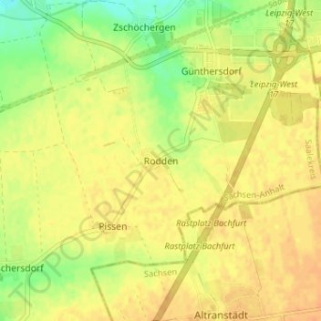
Name: Rodden topographic map, elevation, terrain.
Location: Rodden, Leuna, Saalekreis, Saxony-Anhalt, Germany (51.31342 12.14172 51.35342 12.18172)
Average elevation: 371 ft
Minimum elevation: 305 ft
Maximum elevation: 404 ft