
Lengronne topographic map
Interactive map
Click on the map to display elevation.
About this map
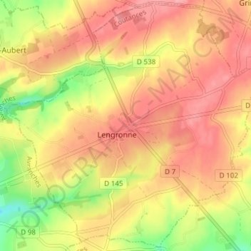
Name: Lengronne topographic map, elevation, terrain.
Average elevation: 289 ft
Minimum elevation: 92 ft
Maximum elevation: 407 ft
Other topographic maps
Click on a map to view its topography, its elevation and its terrain.
La Goubinière
France > Normandie > Manche > Lengronne
La Goubinière, Lengronne, Coutances, Manche, Normandie, France métropolitaine, 50450, France
Average elevation: 256 ft