
Ceilhes-et-Rocozels topographic map
Interactive map
Click on the map to display elevation.
About this map
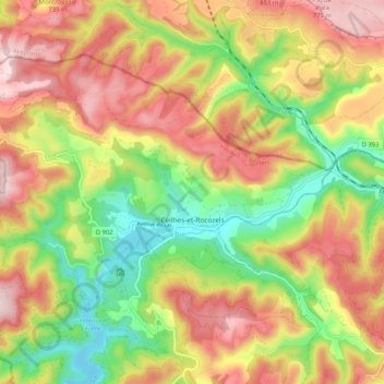
Name: Ceilhes-et-Rocozels topographic map, elevation, terrain.
Average elevation: 2,001 ft
Minimum elevation: 1,365 ft
Maximum elevation: 2,638 ft