
Dorli topographic map
Interactive map
Click on the map to display elevation.
About this map
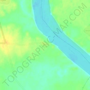
Name: Dorli topographic map, elevation, terrain.
Location: Dorli, Brahmapuri, Chandrapur, Maharashtra, India (20.42865 79.93986 20.43084 79.94270)
Average elevation: 692 ft
Minimum elevation: 650 ft
Maximum elevation: 741 ft