
Ilha Grande topographic map
Interactive map
Click on the map to display elevation.
About this map
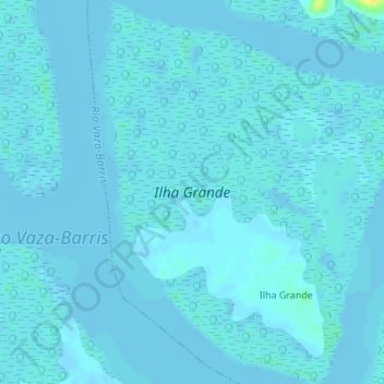
Name: Ilha Grande topographic map, elevation, terrain.
Average elevation: 7 ft
Minimum elevation: -3 ft
Maximum elevation: 75 ft
Other topographic maps
Click on a map to view its topography, its elevation and its terrain.
Ilha Grande
Brasil > Sergipe > São Cristóvão
Ilha Grande, São Cristóvão, Região Geográfica Imediata de Aracaju, Região Geográfica Intermediária de Aracaju, Sergipe, Região Nordeste, Brasil
Average elevation: 7 ft