
Çiçekdağı topographic map
Interactive map
Click on the map to display elevation.
About this map
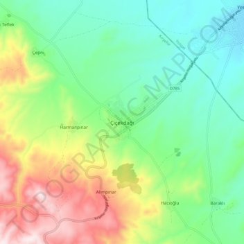
Name: Çiçekdağı topographic map, elevation, terrain.
Location: Çiçekdağı, Kırşehir, Central Anatolia Region, Turkey (39.56360 34.37580 39.64360 34.45580)
Average elevation: 3,159 ft
Minimum elevation: 2,516 ft
Maximum elevation: 4,416 ft