
Honda topographic map
Interactive map
Click on the map to display elevation.
About this map
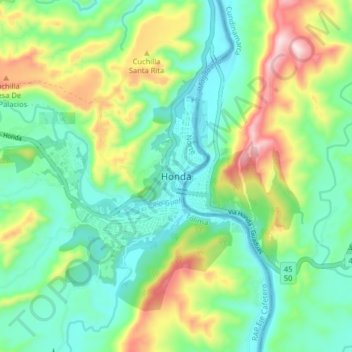
Name: Honda topographic map, elevation, terrain.
Location: Honda, Norte, Tolima, 732040, Colombia (5.17042 -74.77619 5.25042 -74.69619)
Average elevation: 1,073 ft
Minimum elevation: 597 ft
Maximum elevation: 2,133 ft