
Dyle topographic map
Interactive map
Click on the map to display elevation.
About this map
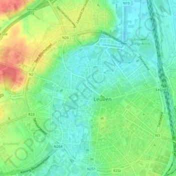
Name: Dyle topographic map, elevation, terrain.
Location: Dyle, Louvain, Brabant flamand, Flandre, 3000, Belgique (50.88003 4.69675 50.88179 4.69857)
Average elevation: 118 ft
Minimum elevation: 46 ft
Maximum elevation: 243 ft
Other topographic maps
Click on a map to view its topography, its elevation and its terrain.