
Birdseye topographic map
Interactive map
Click on the map to display elevation.
About this map
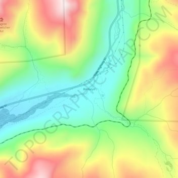
Name: Birdseye topographic map, elevation, terrain.
Location: Birdseye, Lake County, Colorado, United States (39.29110 -106.24752 39.33110 -106.20752)
Average elevation: 10,932 ft
Minimum elevation: 10,092 ft
Maximum elevation: 12,113 ft