
Tamarit topographic map
Interactive map
Click on the map to display elevation.
About this map
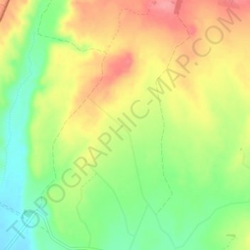
Name: Tamarit topographic map, elevation, terrain.
Location: Tamarit, Tauste, Cinco Villas, Zaragoza, Aragón, España (41.95269 -1.36153 41.97269 -1.34153)
Average elevation: 974 ft
Minimum elevation: 830 ft
Maximum elevation: 1,115 ft
Other topographic maps
Click on a map to view its topography, its elevation and its terrain.