
Freer topographic map
Interactive map
Click on the map to display elevation.
About this map
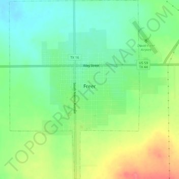
Name: Freer topographic map, elevation, terrain.
Location: Freer, Duval County, Texas, 78357, United States (27.85748 -98.63446 27.89734 -98.60163)
Average elevation: 558 ft
Minimum elevation: 469 ft
Maximum elevation: 699 ft
Other topographic maps
Click on a map to view its topography, its elevation and its terrain.
Freer
United States > Texas > Duval County > Freer > Freer
Freer, Duval County, Texas, 78357, United States
Average elevation: 574 ft