
Sanolo topographic map
Interactive map
Click on the map to display elevation.
About this map
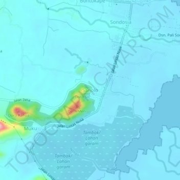
Name: Sanolo topographic map, elevation, terrain.
Location: Sanolo, Kabupaten Bima, West Nusa Tenggara, Indonesia (-8.55230 118.62420 -8.51230 118.66420)
Average elevation: 36 ft
Minimum elevation: -3 ft
Maximum elevation: 492 ft