
Campoalegre topographic map
Interactive map
Click on the map to display elevation.
About this map
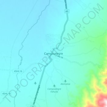
Name: Campoalegre topographic map, elevation, terrain.
Location: Campoalegre, Huila, Colombia (2.64510 -75.36632 2.72510 -75.28632)
Average elevation: 1,903 ft
Minimum elevation: 1,588 ft
Maximum elevation: 4,547 ft