
Cibogo topographic map
Interactive map
Click on the map to display elevation.
About this map
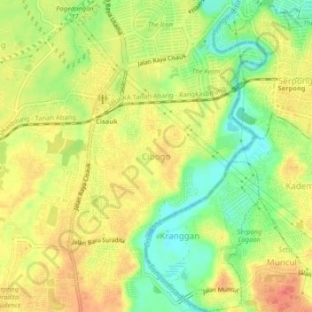
Name: Cibogo topographic map, elevation, terrain.
Location: Cibogo, Tangerang, Banten, 15313, Indonesia (-6.35005 106.62804 -6.31005 106.66804)
Average elevation: 141 ft
Minimum elevation: 46 ft
Maximum elevation: 217 ft