
La Torre topographic map
Interactive map
Click on the map to display elevation.
About this map
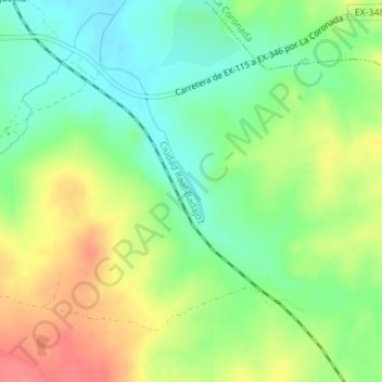
Name: La Torre topographic map, elevation, terrain.
Location: La Torre, Magacela, Badajoz, Extremadura, 06468, España (38.89968 -5.70625 38.90370 -5.70441)
Average elevation: 1,073 ft
Minimum elevation: 978 ft
Maximum elevation: 1,198 ft