
Gunung Batu topographic map
Interactive map
Click on the map to display elevation.
About this map
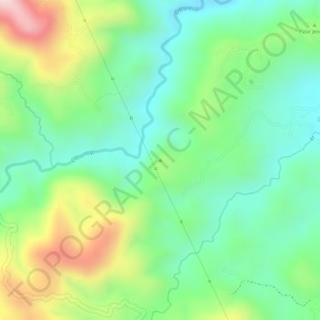
Name: Gunung Batu topographic map, elevation, terrain.
Location: Gunung Batu, Bogor, West Java, Indonesia (-6.63199 106.60606 -6.63189 106.60616)
Average elevation: 1,614 ft
Minimum elevation: 1,188 ft
Maximum elevation: 2,349 ft
Other topographic maps
Click on a map to view its topography, its elevation and its terrain.