
Durame topographic map
Interactive map
Click on the map to display elevation.
About this map
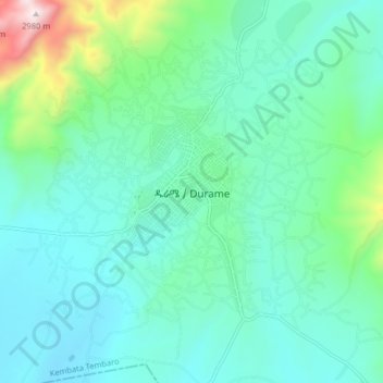
Name: Durame topographic map, elevation, terrain.
Location: Durame, Kembata Alaba Tembaro, Southern Nations, Ethiopia (7.20388 37.86499 7.28388 37.94499)
Average elevation: 7,037 ft
Minimum elevation: 6,398 ft
Maximum elevation: 9,790 ft