
Kudukeras topographic map
Interactive map
Click on the map to display elevation.
About this map
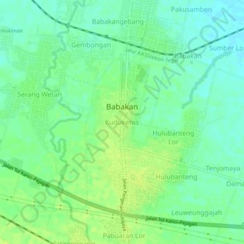
Name: Kudukeras topographic map, elevation, terrain.
Location: Kudukeras, West Java, Indonesia (-6.89445 108.70128 -6.85445 108.74128)
Average elevation: 43 ft
Minimum elevation: 16 ft
Maximum elevation: 62 ft