
Curug topographic map
Interactive map
Click on the map to display elevation.
About this map
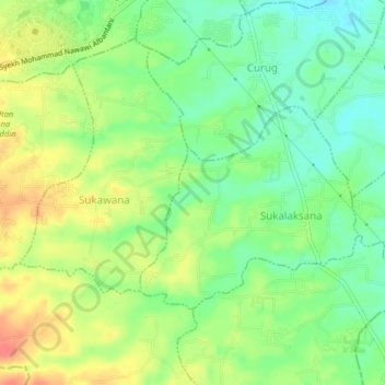
Name: Curug topographic map, elevation, terrain.
Location: Curug, Serang, Banten, Indonesia (-6.20928 106.15548 -6.16928 106.19548)
Average elevation: 194 ft
Minimum elevation: 112 ft
Maximum elevation: 292 ft