
Dharur topographic map
Interactive map
Click on the map to display elevation.
About this map
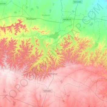
Name: Dharur topographic map, elevation, terrain.
Location: Dharur, Beed, Maharashtra, 431124, India (18.74560 76.01247 19.02025 76.36168)
Average elevation: 1,988 ft
Minimum elevation: 1,365 ft
Maximum elevation: 2,516 ft
Kille Dharur (Dharur) is located at 18°49′N 76°07′E / 18.82°N 76.12°E / 18.82; 76.12. It has an average elevation of 739 metres (2424 feet).