
El Hassi topographic map
Interactive map
Click on the map to display elevation.
About this map
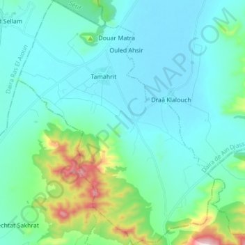
Name: El Hassi topographic map, elevation, terrain.
Location: El Hassi, Daïra Aïn Djasser, Batna, Algérie (35.72482 5.89178 35.83569 6.00166)
Average elevation: 3,173 ft
Minimum elevation: 2,835 ft
Maximum elevation: 4,905 ft