
Leslie topographic map
Interactive map
Click on the map to display elevation.
About this map
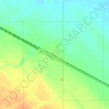
Name: Leslie topographic map, elevation, terrain.
Location: Leslie, Census Division No. 10, Saskatchewan, Canada (51.67483 -103.73221 51.71483 -103.69221)
Average elevation: 1,841 ft
Minimum elevation: 1,795 ft
Maximum elevation: 1,909 ft