
Greenlake topographic map
Interactive map
Click on the map to display elevation.
About this map
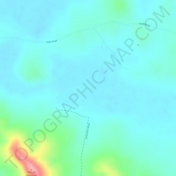
Name: Greenlake topographic map, elevation, terrain.
Location: Greenlake, Rockhampton, Queensland, Australia (-23.04556 150.54501 -23.02556 150.56501)
Average elevation: 118 ft
Minimum elevation: 36 ft
Maximum elevation: 489 ft
Other topographic maps
Click on a map to view its topography, its elevation and its terrain.
Moores Creek
Australia > Queensland > Rockhampton
Moores Creek, Frenchville, Rockhampton, Rockhampton Regional, Queensland, 4701, Australia
Average elevation: 397 ft
Capricorn Coast National Park
Australia > Queensland > Rockhampton
Capricorn Coast National Park, Svendson Road, Zilzie, Rockhampton, Queensland, 4710, Australia
Average elevation: 39 ft