
Panji topographic map
Interactive map
Click on the map to display elevation.
About this map
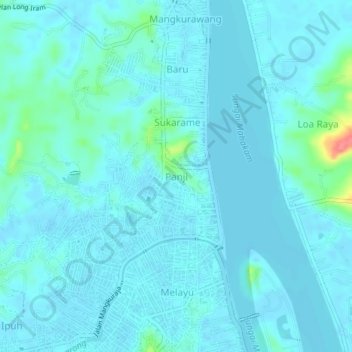
Name: Panji topographic map, elevation, terrain.
Location: Panji, East Kalimantan, 75514, Indonesia (-0.42718 116.96620 -0.38718 117.00620)
Average elevation: 26 ft
Minimum elevation: -16 ft
Maximum elevation: 240 ft