
Amelia topographic map
Interactive map
Click on the map to display elevation.
About this map
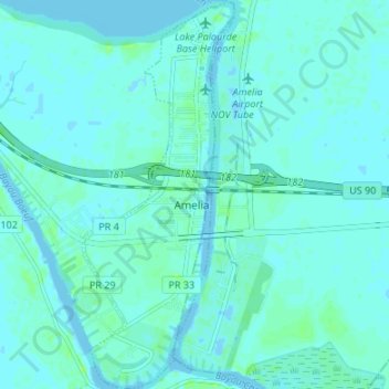
Name: Amelia topographic map, elevation, terrain.
Location: Amelia, St. Mary Parish, Louisiana, United States of America (29.63853 -91.12119 29.69694 -91.09500)
Average elevation: 7 ft
Minimum elevation: -13 ft
Maximum elevation: 30 ft