
Rochester topographic map
Interactive map
Click on the map to display elevation.
About this map
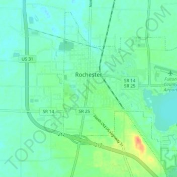
Name: Rochester topographic map, elevation, terrain.
Location: Rochester, Fulton County, Indiana, United States of America (41.03857 -86.22823 41.08308 -86.15957)
Average elevation: 787 ft
Minimum elevation: 751 ft
Maximum elevation: 886 ft