
Đức Phổ topographic map
Interactive map
Click on the map to display elevation.
About this map
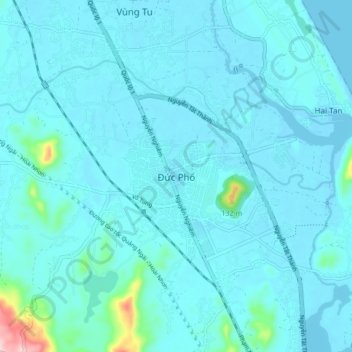
Name: Đức Phổ topographic map, elevation, terrain.
Location: Đức Phổ, Town of Duc Pho, Quang Ngai province, Vietnam (14.77786 108.91464 14.85786 108.99464)
Average elevation: 59 ft
Minimum elevation: -7 ft
Maximum elevation: 725 ft