
Santa María topographic map
Interactive map
Click on the map to display elevation.
About this map
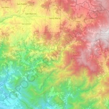
Name: Santa María topographic map, elevation, terrain.
Location: Santa María, Cantón Dota, San Jose Province, 11701, Costa Rica (9.45805 -83.98968 9.69295 -83.93332)
Average elevation: 4,816 ft
Minimum elevation: 177 ft
Maximum elevation: 10,344 ft