
Kalavapudi topographic map
Interactive map
Click on the map to display elevation.
About this map
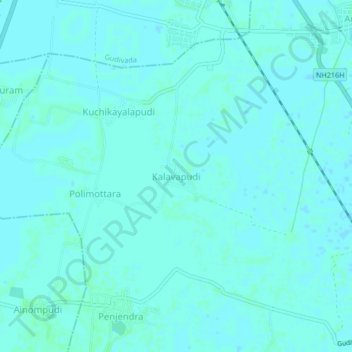
Name: Kalavapudi topographic map, elevation, terrain.
Average elevation: 26 ft
Minimum elevation: 20 ft
Maximum elevation: 33 ft
Other topographic maps
Click on a map to view its topography, its elevation and its terrain.
Kalavapudi
India > Andhra Pradesh > Kalavapudi
Kalavapudi, Mandavalli, Krishna, Andhra Pradesh, 521345, India
Average elevation: 13 ft