
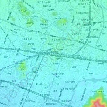
豆腐町 topographic map
Interactive map
Click on the map to display elevation.
About this map
Name: 豆腐町 topographic map, elevation, terrain.
Location: 豆腐町, Himeji, Hyogo Prefecture, Kinki Region, 670-0927, Japan (34.80710 134.66903 34.84710 134.70903)
Average elevation: 52 ft
Minimum elevation: 7 ft
Maximum elevation: 400 ft