
Castilla topographic map
Interactive map
Click on the map to display elevation.
About this map
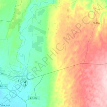
Name: Castilla topographic map, elevation, terrain.
Location: Castilla, Piura, Peru (-5.26503 -80.64916 -4.96552 -80.33807)
Average elevation: 371 ft
Minimum elevation: 72 ft
Maximum elevation: 886 ft
Other topographic maps
Click on a map to view its topography, its elevation and its terrain.