
White Cliffs topographic map
Interactive map
Click on the map to display elevation.
About this map
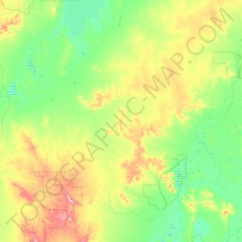
Name: White Cliffs topographic map, elevation, terrain.
Average elevation: 440 ft
Minimum elevation: 223 ft
Maximum elevation: 1,421 ft
Other topographic maps
Click on a map to view its topography, its elevation and its terrain.
Kinchega National Park
Australia > New South Wales > Central Darling Shire Council > Menindee
Kinchega National Park, Menindee, Central Darling Shire Council, New South Wales, 2879, Australia
Average elevation: 203 ft