
Pedro López topographic map
Interactive map
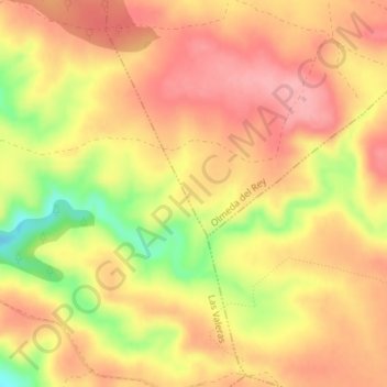
Click on the map to display elevation.
About this map
Name: Pedro López topographic map, elevation, terrain.
Location: Pedro López, Olmeda del Rey, Cuenca, Castile-La Mancha, Spain (39.75821 -2.11026 39.77821 -2.09026)
Average elevation: 3,297 ft
Minimum elevation: 3,058 ft
Maximum elevation: 3,422 ft