
Shari topographic map
Interactive map
Click on the map to display elevation.
About this map
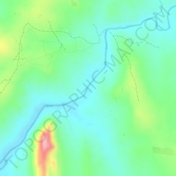
Name: Shari topographic map, elevation, terrain.
Average elevation: 3,297 ft
Minimum elevation: 3,140 ft
Maximum elevation: 3,661 ft
Other topographic maps
Click on a map to view its topography, its elevation and its terrain.
Bunia
Democratic Republic of the Congo > Ituri > Bunia
Bunia, Irumu, Orientale, Ituri, Democratic Republic of the Congo
Average elevation: 4,170 ft