
Hiram topographic map
Interactive map
Click on the map to display elevation.
About this map
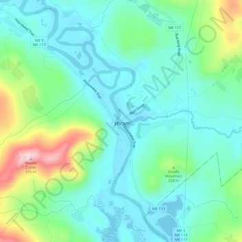
Name: Hiram topographic map, elevation, terrain.
Location: Hiram, Oxford County, Maine, 04041, United States (43.85909 -70.82345 43.89909 -70.78345)
Average elevation: 541 ft
Minimum elevation: 331 ft
Maximum elevation: 1,168 ft